
Days of exhibition
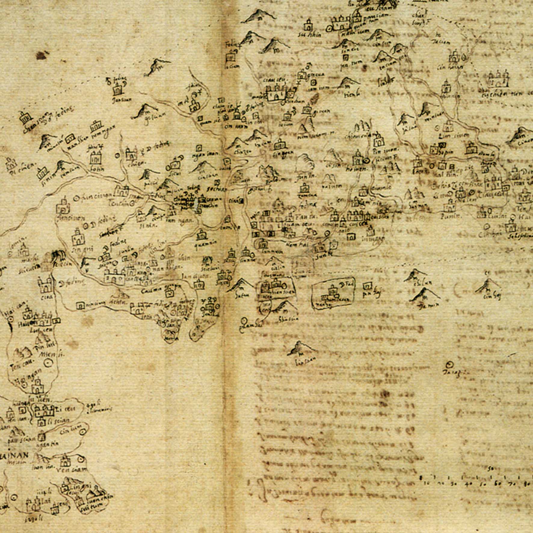
The exhibition presents the extraordinary cartographic work of the Jesuit Michele Ruggieri and other important cartographer. Together with Matteo Ricci, the latter and the former began mapping East and West during the Ming dynasty. Michele Ruggeri lived in China for 10 years during the 16th century, traveling across China’s territory in order to observe their customs, language and religion. His descriptions, along with the maps he designed, are an extraordinary source of knowledge about China during the Ming dynasty. For the first time, the exhibition shines a spotlight on these ancient maps that are normally preserved in the State Archive in Rome. Beyond Ruggieri’s atlases being the first markers of geographical locations in China, they were also the first descriptions of life, culture, and agricultural habits in the different provinces of north-western China.
Photogallery |
Artworks |
Trailer |
Take a look at the preview of the exhibition
Extra |
Interviews, insights, curiosities, anecdotes